Camerino
Camerino is a small town located in central-eastern Italy, in the Marche region. It has a population of 7,000 and is situated between the rivers Chienti and Potenza, at an altitude of 650m. The municipality dominates the surrounding hilly landscape, which highlights are the Sibillini Mountains, San Vincino Mountain, and adjoining nature reserves.
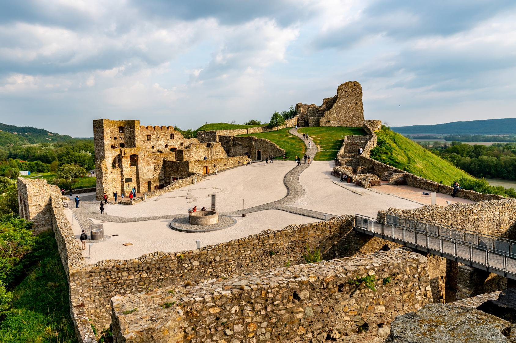
ARCH’s target historic area in Camerino is the entire Old Town. Its area is well defined by the physical borders: it is located at the top of a hilly ridge and enclosed within ancient walls, which represent the town’s medieval defensive perimeter. The Old Town is a historical urban centre (300 B.C.) that was expanded during the Roman Age and currently has a surface of 0.15km2. It is characterised by a high building density and irregular, jagged road network of medieval origin.


Urban centre of Camerino. Source: Municipality of Camerino
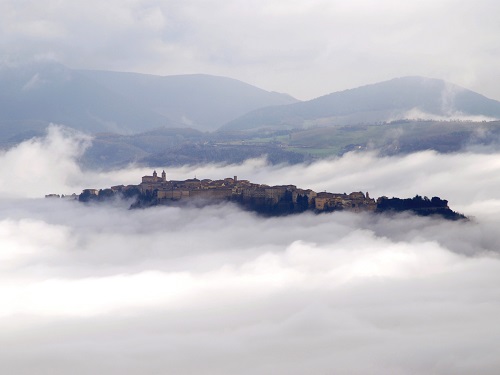
The Old Town of Camerino suffered severe damage due to a major earthquake in central Italy in 2016. Many buildings were destroyed or seriously damaged, and all residents and businesses were relocated. The area remains abandoned even now while the reconstruction process continues.
The Old Town is home to a significant number of buildings and objects of high historical, architectural and artistic heritage value. Many of them were severely damaged or destroyed and are in need of restoration, as well as facing the threat of further damage from future seismic activity. Of these, Ducal Palace and Santa Maria in Via’s Church will be the focus of the ARCH project, in addition to analysis at the urban and district scales. Aside from the threat posed by seismic hazards, the Old Town is also impacted by climatic hazards such as heavy snowfall.
ARCH partners' visit to Camerino, December 2019. Source: the ARCH project.
The ARCH project in Camerino focuses on the mitigation of the impact of natural hazards on the Old Town by developing knowledge and tools for monitoring and preserving its cultural heritage. Specific objectives to support Camerino’s improved resilience through ARCH include:
• improving the predictive models and risk assessment methods;
• increasing the knowledge base on the geological-structural setting of the “Camerino hill” and the geomorphological processes, thereby determining the hydrogeological hazard scenarios for the historical centre;
• better understanding the vulnerability of historical buildings with reference to construction materials and techniques;
• monitoring cultural heritage of significant value in order to provide alerts and real-time information about damage resultant from natural hazards and degradation due to environmental conditions;
• developing guidelines for managing and securing artefacts and artwork after seismic events.
To know more about the cultural heritage sites of Camerino targeted in ARCH, read Deliverable 3.3. ARCH City Baseline Report here.
Camerino after the earthquake in 2016. Source: Municipality of Camerino